
3 Karten - German - Normandie
13,50 €*
Produktnummer:
AM006
Hersteller:
ActionMaps in 1/6 scale
Nicht mehr verfügbar
Unsere Zahlungsarten:


Produktinformationen "3 Karten - German - Normandie"
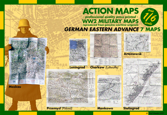
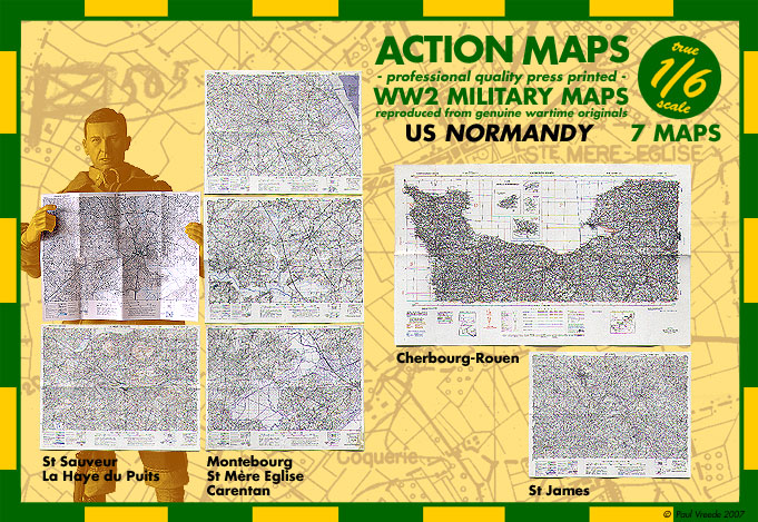
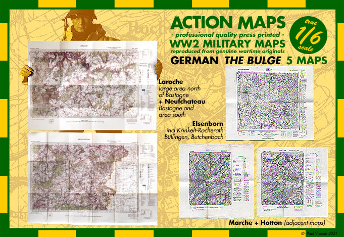
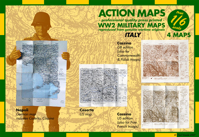
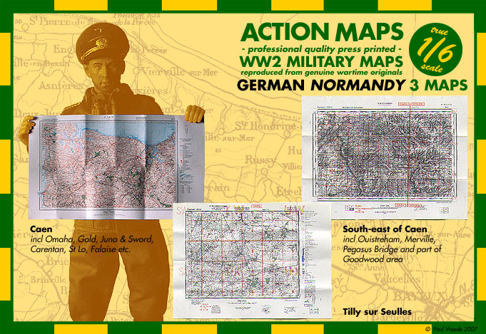
3 Maps - German - Normandy - in 1/6 scale
Original - professional Quality press printed - WW 2 Military Maps in 1/6 scale - reproduced from genuine wartime originals !
3 Maps
3 Maps
== Normandy ==
- Caen 1:200 000
Shows large part of Normandy, incl 4 of the beaches - legible
- Caen Sud-Ost 1:50 000
Doesn't show Caen, but large area east of it, incl Ouistreham, Pegasus Bridge, Merville, rest of Orne bridgehead and part of Goodwood terrain, plus pre-invasion leager areas of half the 21. Pz Div. I believe the original was captured and used by British troops, who may've made the few markings on it. Rather dense but legible
- Tilly-sur-Seulles (map title Bayeux 5-6) 1:50 000
Town south of Bayeux, which changed hands more than a dozen times and was virtually destroyed in fighting when Pz Lehr held off Desert Rats for over a month - fully legible
0 von 0 Bewertungen
Anmelden
Keine Bewertungen gefunden. Teilen Sie Ihre Erfahrungen mit anderen.
Weitere Produkte von ActionMaps in 1/6 scale ansehen


