6 Karten - Nord-Afrika (Deutschland & Italien)
Product number:
AM001
Manufacturer:
ActionMaps in 1/6 scale
Our payment methods:


Product information "6 Karten - Nord-Afrika (Deutschland & Italien)"
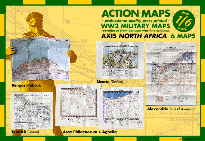
6 Maps - Axis North-Africa - in 1/6 scale
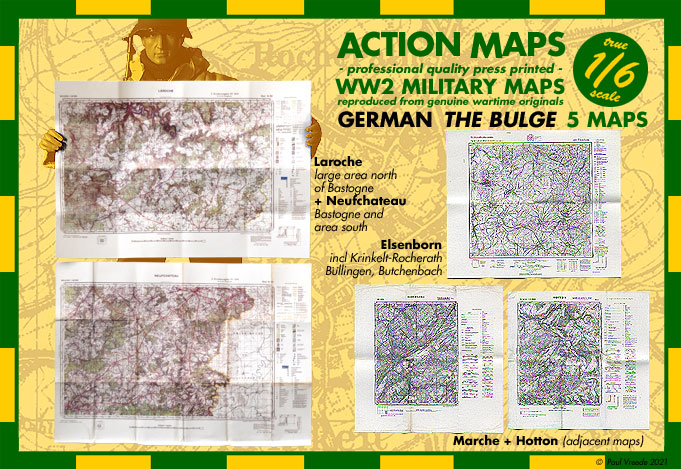
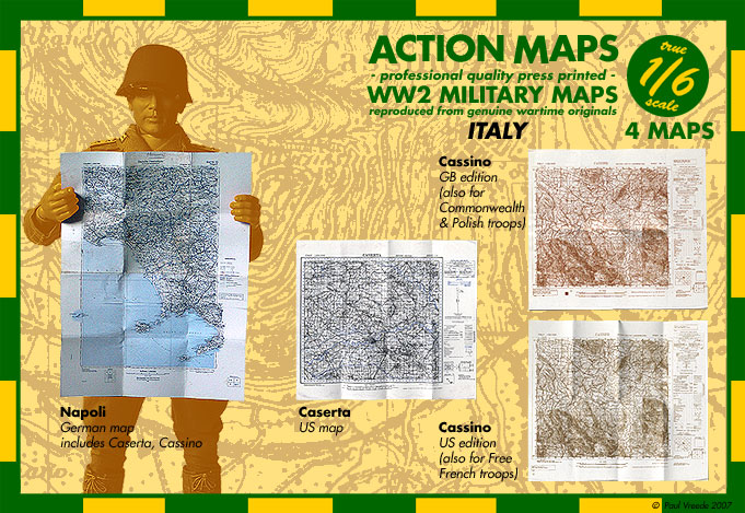
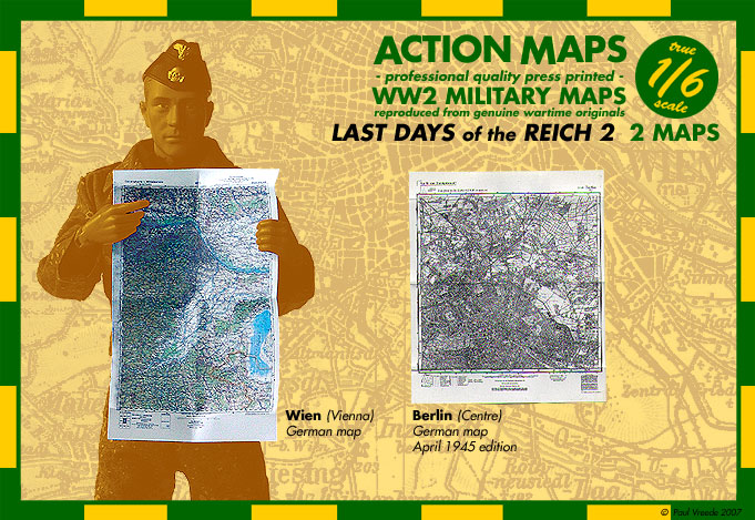
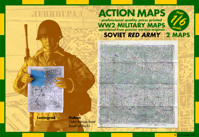
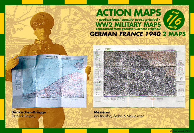
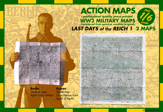
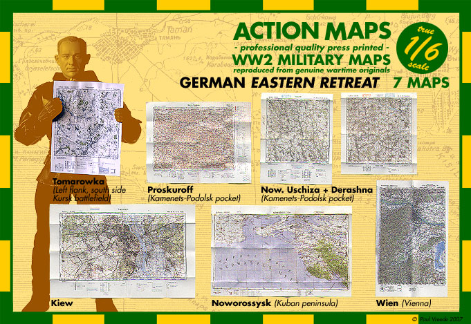
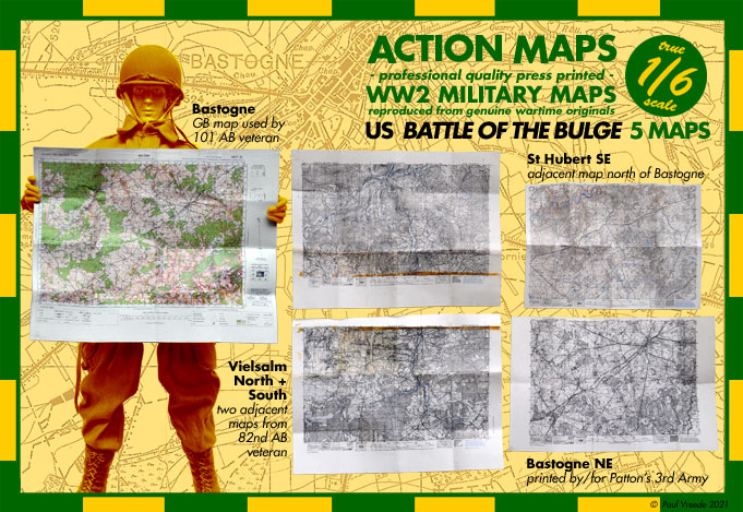
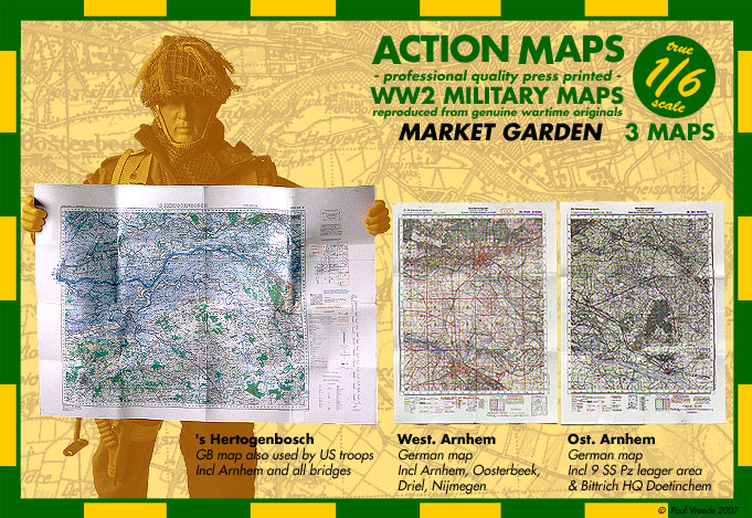
Original - professional Quality press printed - WW 2 Military Maps in 1/6 scale - reproduced from genuine wartime originals !
6 Maps
6 Maps
== North Africa ==
- Bengasi-Tobruk 1:500 000
Shows a lot of sea, but also some of the hardest-fought-over ground in Africa, which changed hands 5 times. Very nice map for figures of Rommel, whom I've seen on newsreel footage with maps from this series.
- Bengasi-Tobruk 1:500 000
Shows a lot of sea, but also some of the hardest-fought-over ground in Africa, which changed hands 5 times. Very nice map for figures of Rommel, whom I've seen on newsreel footage with maps from this series.
- Tobruck (Italian) 1:50 000
Excellent map of Tobruk and area to west, used by justabout everybody in the desert (the British captured them in 1941) - fully legible
- Alexandria 1:250 000
German map produced in desert based on captured British map, just in time for last effort to get past El Alamein. Shows Alamein and area behind it up to Alexandria - fully legible
- Agheila & Arae Philaenorum 1:100 000
Two adjacent maps (can be stuck together to make larger one) of where Rommel tried to hold a line during retreat after Alamein. The NZ Division tried to outflank the Afrika Korps, but it managed to escape before being cut off - part legible
- Bizerte 1:100 000 Area in northern Tunisia.
Map has handdrawn arrows indicating US 2nd Corps advancing against German positions.
Login


