7 Karten - US - Normandie
Product number:
AM010
Manufacturer:
ActionMaps in 1/6 scale
Our payment methods:


Product information "7 Karten - US - Normandie"
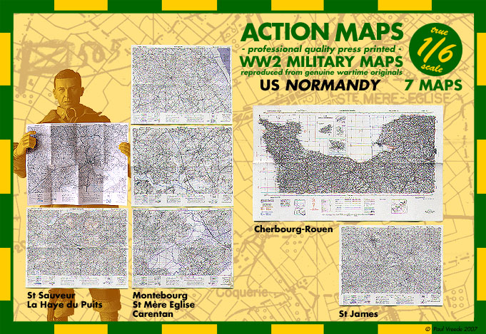
7 Maps - US - Normandy - in 1/6 scale
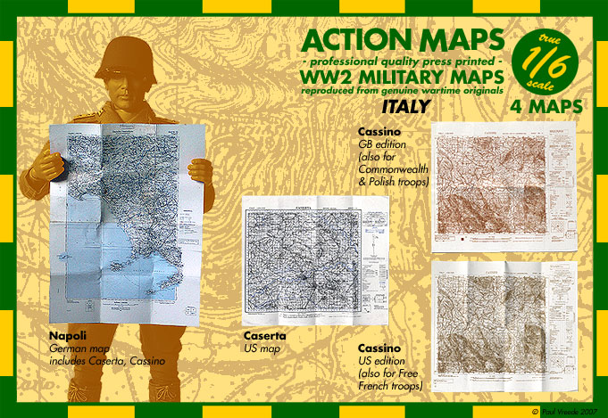
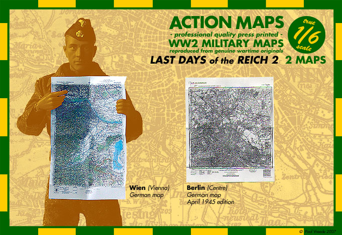
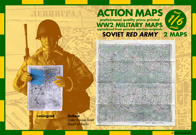
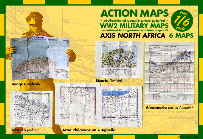
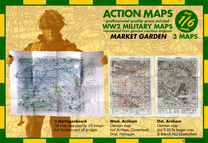
Original - professional quality press printed - WW 2 Military Maps in 1/6 scale - reproduced from genuine wartime originals !
7 Maps
7 Maps
== Normandy ==
- Cherbourg-Rouen (US) 1:200 000
Shows all of Northern Normandy, US Army copy of Michelin map of 1939 - legible
- Ste Mere Eglise (US) 1:50 000 *
Has handdrawn markings showing locations of 505 PIR and some other units. I later learned that the original I borrowed was Lt-Col Vandervoort's personal copy... - fully legible
- Montebourg (US) 1:50 000 *
Map north of Ste Mere, 82nd fought here after D-Day - fully legible
- Carentan (US) 1:50 000 *
Map south of Ste Mere, 101st fought here after D-Day - fully legible
- St Sauveur (US) 1:50 000 *
Map west of St Mere, where Vandervoort's men helped to seal off the Cotentin peninsula - fully legible
- La Haye du Puits (US) 1:50 000
Map south of St Sauveur and west of Carentan, where 82nd fought in first push southwards before being returned to UK - fully legible
- St James (US) 1:50 000
Part of flank held while Patton's 3rd Army liberated Brittany before Germans were trapped at Falaise. Incl Patton HQ location at Poilley - fully legible
*: if you happen to have (seen) the BBI limited-edition US paratroopers produced for Michel De Trez, then these are the maps that were supplied with them. I produced those maps for Michel, you see... :D
Login


